Cairo Gardens
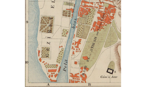
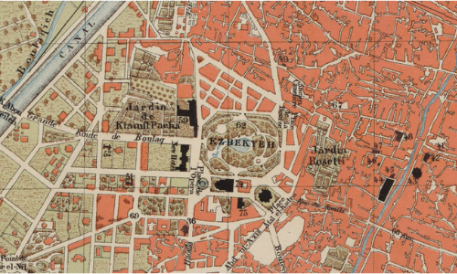
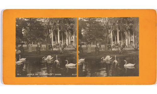
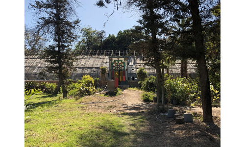
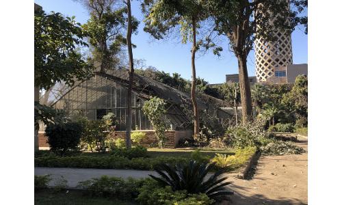
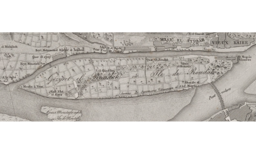
Cairo expanded rapidly in the nineteenth century. Prior to this expansion, the old city center was located on the eastern side of the Nile River and much of the surrounding area had been cultivated farmland. Urban expansion encroached on these farmlands, but Mehmet Ali and Ibrahim Pasha established urban gardens for the cultivation of a wide variety of plants and trees by the 1830s. The construction of the Ismailia Canal in the late 1860s diverted water from the Nile and allowed previously flooded land on the Island of Zamalek and on the western edge of the Nile to be reclaimed. Ismail Pasha used these newly reclaimed lands to establish vast botanical gardens, and by the end of the century, Cairo became a site for seed collection and agricultural research. This map highlights these gardens established during the nineteenth and early twentieth centuries.
However, gardens throughout the country have been shrinking, and trees systematically cut down. The highlighted area is what remains today of Cairo's oldest public gardens, with the exception of Al Azhar Park, which was only recently designed.
Click on a garden from the list below to see historic maps, photographs, and key historical information.